We’ve encouraged thousands of people to explore, and you can still use our resources
We created self-guided walking trails and accompanying booklet
to help you explore the ancient hilltops and hidden valleys, canals and aqueducts, towers
and tunnels, gardens and riverside meadows. Our podcast gives you a unique
insight to their history and the people who’ve shaped them. Find out more about
accessing weekly wellbeing walks, by email
info@bathscape.co.uk.We
highly recommend the tree trails that Bath Urban Treescape have put together
too.
Or if
you fancy trying 20 miles of walking around the Bathscape, the waymarked Circuit of
Bath hiking route offers stunning views, history, heritage, countryside and
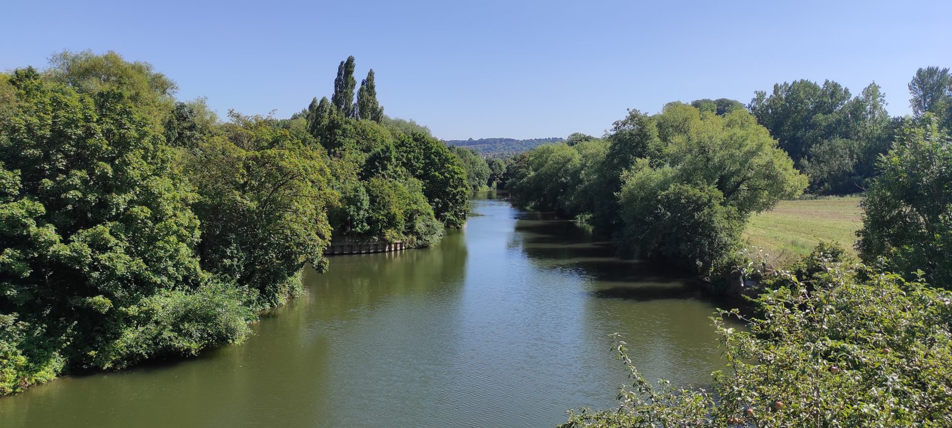
city. A beautiful walk in any season as it takes in river, canal, meadows, woodland and
peaceful valleys. Scroll to the bottom of this page for more information. Photo by Ruby
Barber
Self-guided walking trails
Our partner, Cotswolds National Landscape, has created a range of walking trails for you
– including shorter wheel-friendly walks and longer hikes. They have also produced
videos so you can see some of the routes before setting out. On this page you can watch the
video, look at the photos and download a handy trail guide and map. Discover more about the
20 mile Circuit of Bath Hiking Trail at the bottom of this page.
Walks on this page were accurate as at April 2026, Cotswolds National Landscape website will
have updated versions after that. Please note, that due to the nature of these downloadable
documents (map with directions) and the original design, they are not in an accessible
format for ereaders.
Lansdown on the Level A mostly flat figure of eight high on the Cotswold
plateau, which can easily be shortened to one loop. Walk
18 Lansdown on the Level
Sensory Smallcombe A varied 3.4km route exploring this hidden corner of
Bath and encouraging you to tune into all of your senses. Walk 10
Smallcombe
Charmy Down – Up, Down and Over An 8 mile circular walk climbing to
an atmospheric ex-airfield, then offering stunning ever changing views as you descend before
a second climb to the top of the scheduled ancient monument of Little Solsbury Hill. Walk 7 Charmy
Down
One Tunnel from Springfield Park A 3.5km circular route taking in parks,
one of the famous ‘two tunnels’ and incredible views over Bath. Walk 6
Springfield Park
Royal Victoria Park Highlights A 2km flat, wheel friendly tour of just
some of the special places in Bath’s famous and beautiful park. Walk 4 Victoria
Park
Blue Lines City Centre Circular A 4km mostly flat circular route around
historic central Bath along the blue lines of the River Avon and the peaceful Kennet &
Avon canal. Walk 17
Blue Lines
West of Bath Circular A mostly flat 11km route along the River Avon tow
path into the city centre. Walk 5 West of
Bath
Weston to Primrose Hill Climb A short, sharp 2km route to get the heart
pumping. Worth it for the brilliant views from Primrose Hill. Walk 3 Weston
to Primrose
Wildlife and Waterways (on wheels) A 5km route suitable for pushchairs and
motorised wheelchairs taking in the green and blue spaces of West Bath. Walk 1
Wildlife & Waterways
Green Twerton A 4km varied walk taking in the often overlooked green spots
of Twerton. Walk
11 Green Twerton
South Stoke Circular A 5km pub-to-pub walk in the beautiful countryside
south of Bath. (You can hear about one of the pubs in our podcast episode on community
pubs) Walk 14 South
Stoke
Little Solsbury Hill Circular Starting and finishing on Batheaston High
Street this 5km circular route starts with gentle riverside views before climbing up to the
top of Little Solsbury Hill. Walk 9
Little Solsbury Hill
To Bath’s best view! A short uphill walk to one of
the most famous city centre viewpoints in Bath at Alexandra Park. Walk 12 To
Bath’s best view
Monkton Farleigh, a folly and a feat of engineering A 13km varied circular
walk taking in a quaint Cotswold village, farmland and riverside before reaching the
Scheduled Ancient Monument of Dundas Aqueduct. Walk 8 Monkton
Farleigh
Light and shade along the Midford Brook A 6.5km beautiful flat walk through
the countryside of south Bath along the babbling Midford Brook. Walk 13 Light to
shade
Bathampton Meadows City to Countryside Meander This 10km flat loop uses
Bath’s canal to navigate out of the city and the green finger of Bathampton Meadows to bring
you back again. Walk
15 City to Countryside
Bathampton Down Loop Starting with a long steady climb to fantastic views
from the top of Bathampton Down this 6km circular walk then returns with an easy amble along
the picturesque Kennet & Avon canal. Walk 16
Bathampton Down Loop
St James Cemetery Loop A short (just over 1km), flat route in central Bath
to an often overlooked hidden gem, suitable for wheels of most types. Walk 2
St James Cemetery Loop
Enjoy 20.5 miles of walking around the Bathscape. This walk offers stunning views,
history, heritage, countryside and city, including Little Solsbury Hill. A beautiful
walk in any season as it takes in river, canal, meadows, woodland and peaceful
valleys.
It can
be walked and is waymarked in both directions, but the climbs are slightly
easier going clockwise. There are several pubs and cafes along the route. We’ve
divided the walk into four sections each suitable for a day’s walk,
outlined below.
You can start and finish in several places including Lansdown, Newbridge and
Odd Down Park and Rides, Bathampton or the Brassknocker Basin car park at the canal centre
(parking charges apply).
The four sections
We’ve divided the walk into four sections – click the links to download the route maps
and descriptions.
Walk 1 Lansdown to Batheaston This leg starts with a panorama of the city
before heading north for breath-taking views across the Swainswick Valley to iconic Little
Solsbury Hill, which you later ascend, before finishing in the river-side village of
Batheaston. Five miles with some good up and downs! Bath circuit Walk
1
Walk 2 Batheaston to BrassknockerBasin Follow the
picturesque Kennet & Avon Canal down to the Scheduled Ancient Monument of Dundas
Aqueduct which carries the canal over the River Avon. This is the shortest and the only flat
walk. Bath
circuit Walk 2
Walk 3 Brassknocker Basin to Odd Down Starting gently this leg first follows
the Midford Brook, and then the disused Somersetshire Coal Canal passing the site of the
historic Combe Hay Locks. It then climbs up to rewarding views from the Millennium view
point over the Southern Bathscape. Five miles with some flat sections. Bath circuit Walk
3
Walk 4 Odd Down to Lansdown This is the longest section, however it can
easily be split into two by stopping at Newbridge. To Newbridge the route meanders through
farmland and woodland before passing through the picture perfect village of Englishcombe.
From Newbridge, after a short climb through Newbridge Slopes nature reserve and into Weston
it then ascends towards the famous landmark of Beckford’s Tower offering stunning views all
the way up. The full length is eight miles, and overall you’ll climb over 1000ft/300m,
but it’s always worth it for the view. Bath circuit Walk
4
Public transport
This route is easily accessible by public
transport. It goes very close to the three Park & Rides and buses run frequently from
the centre of Bath, a short walk from the train station. There is also a bus stop near the
Canal Visitor Centre/Brassknocker Basin Car Park and buses to Batheaston which are other
recommended starting points.
Getting there
If you are not using public transport you can drive to one of the points along the route
where parking is available. If you are driving from Bristol or the west the best place to
start is Newbridge Park & Ride. If you are coming from the North the best option may be
Lansdown Park & Ride (Charges now apply at Park & Rides – please check
boards). In the south west you can go to Odd Down Park & Ride and in the south east you
can head to the Brassknocker Basin car park (charges apply).
Safety information
Remember to pack plenty of water and snacks if you are tackling this route in one go.
Some of the fields do have livestock in them so if you are walking with a dog please put
them on a lead whenever you see grazing animals. There are some sections along country roads
and lanes. Please be careful and make sure you walk in single file and on the right so
motorists can see you clearly.

 Or if
you fancy trying 20 miles of walking around the Bathscape, the waymarked Circuit of
Bath hiking route offers stunning views, history, heritage, countryside and
city. A beautiful walk in any season as it takes in river, canal, meadows, woodland and
peaceful valleys. Scroll to the bottom of this page for more information. Photo by Ruby
Barber
Or if
you fancy trying 20 miles of walking around the Bathscape, the waymarked Circuit of
Bath hiking route offers stunning views, history, heritage, countryside and
city. A beautiful walk in any season as it takes in river, canal, meadows, woodland and
peaceful valleys. Scroll to the bottom of this page for more information. Photo by Ruby
Barber